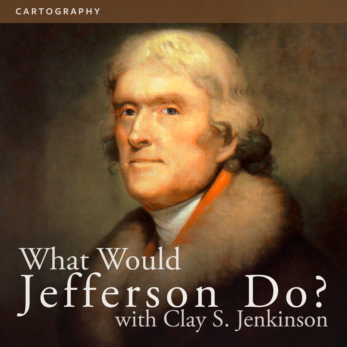
Cartography
from What Would Thomas Jefferson Do? (2018) by Listening to America with Clay Jenkinson
1776 Club exclusive
-
1776 Club
Join now to receive all the new shows Listening to America with Clay Jenkinson creates, including 19 back-catalog releases, delivered instantly to you via the Bandcamp app for iOS and Android. You’ll also get access to supporter-only exclusives like this track. Learn more.Join Now $5 USD/month or more
about
DS: 00:05 Good day, citizens, and welcome to What Would Jefferson Do?, our weekly opportunity to discuss current American events with President Thomas Jefferson, who is seated across from me now. Good day to you, Mr. President.
CSJ as TJ: 00:05 Good day to you, citizen.
DS: 00:17 Mr Jefferson, I wanted to ask you about maps and map making and geography — things that we sort of take for granted during my age. During your time, I've heard it called the — geography was the mother of all sciences.
CSJ as TJ: 00:32 Well, we had a sense of the world. Columbus had found the western hemisphere, and then in my era — this was the great age of discovery. Captain Cook, going to the south seas and finding Australia and New Zealand and mapping them, and Cook looking for northwest passage across the top of what's in your time Canada. Finding the Hawaiian islands, which were called the sandwich islands, and looking for the transit of Venus on Tahiti. So all of these expeditions were fanning out across the world, making new discoveries, new peoples. It was an extraordinary time for plants, and rare and unusual animals, and just a sense that there was a much bigger world than we had ever anticipated before. And so we were fascinated. We were intoxicated by geography in that era.
DS: 01:24 It is said, sir, that you learned map making from your father, correct?
CSJ as TJ: 01:30 My father, Peter Jefferson was a great man. He was one of the first settlers in the western part of Virginia and what later became Albemarle County. He was a surveyor and a map maker, and in fact, with a man named Joshua Fry from the college (the College of William and Mary) my father ascertained the correct line of boundary between North Carolina and Virginia and he and Fry later produced the first really adequate map of the Commonwealth of Virginia.
DS: 01:57 One of the more famous maps from your era is that made by William Clark of the exploration of the west.
CSJ as TJ: 02:05 Yes. After Lewis and Clark came back, Lewis unfortunately went into a steep decline and, I'm sorry to say, committed suicide, but Clark then saw the publication through the press, after a fashion at least, and one of the glories of that publication in 1814 was his engraved map, which I believe cartographers in your own era have found to be astonishingly accurate.
DS: 02:05 Yes sir. That's true.
CSJ as TJ: 02:32 So this was a very important part of it. The only thing that I disagreed with — well I won't say that — the thing that I found wanting in Clark's map was that it did not have adequate latitude and longitude. So he showed where the great falls of the Missouri were, it showed where the confluence of the Clearwater and the Snake were and so on, but he didn't have the celestial coordinates of latitude and longitude because Lewis' data had not proved to be decipherable. And I wrote to him as late as 1816 saying, isn't there some way now to go back into the map and add that data now that it's better known? Because this is what will vindicate American geography, and the enlightenment of America to the rest of the world.
DS: 03:15 Again, I say, Mr. President, we sort of take maps for granted. They're so readily available during my time. But for you, they must have been valuable for planning and land claims and development and navigation. They must have been essential to develop these maps.
CSJ as TJ: 03:30 Of course, we only had printed maps — globes, which were maps that were made to fit around a sphere — but maps were essential to surveying determination of the boundaries of the Louisiana Purchase for our relations with the native Americans of the West, for virtually everything. And I made a special devotion to collecting all of the maps that I could possibly collect. I took great pride in having a really significant map collection at Monticello.
DS: 04:01 Did Lewis and Clark take any maps with them?
CSJ as TJ: 04:05 Yes. They had one by John Evans — who was a Welshman who had gone up the Missouri River in the 1790s looking for Welsh Indians, by the way, without much success — and they also had Aaron Arrowsmith's map from 1802 and 1803. It was the best map of North America available at the time, and what makes it astonishing for this story is that west of the Mississippi, there was a huge white place on the map all the way out to what would today be, Portland, Oregon, and in that white space, the simple words, "terra incognita," totally unknown country. That's what Mr Lewis went out to the west to fix, to actually show what was between the Pacific and the sources of the Mississippi.
DS: 04:50 I must share some maps with you from my time, sir. Thank you very much. Mr Jefferson.
CSJ as TJ: 04:55 You're most welcome, sir.
lyrics
"I made a special devotion to collecting all of the maps that I could."
— Thomas Jefferson, as portrayed by Clay S. Jenkinson
— Thomas Jefferson, as portrayed by Clay S. Jenkinson
credits
from What Would Thomas Jefferson Do? (2018),
track released July 17, 2018
jeffersonhour.com/blog/1295wwtjd
jeffersonhour.com/blog/1295wwtjd
license
all rights reserved
tags
about

Listening to America with Clay Jenkinson
The Thomas Jefferson Hour is a weekly radio program dedicated to the search for truth in the tradition of Thomas
Jefferson.
Nationally acclaimed humanities scholar and award-winning first-person interpreter of Thomas Jefferson, Clay S. Jenkinson, portrays Jefferson on the program, and he answers listener questions while in the persona of our third president.
... more

contact / help
Listening to America with Clay Jenkinson recommends:
-
Lakota Songs
by Densmore Repatriation ProjectIn episode #1511, Clay interviewed David about The Densmore Repatriation Project and David's work to restore Frances Densmore's wax cylinder recordings.
go to album -
Talking out of Tights
by Clay S. JenkinsonI hope you will find these stories uplifting as well as funny. I’m a Jeffersonian. I believe we are all on a quest to become our best selves.
go to album -
Becoming Jefferson's People
by Clay S. JenkinsonBecoming Jefferson’s People is part manifesto, part call for a new political persuasion, part self-help book, and part critique of the consumerist world empire that the United States has become.
go to album
If you like Listening to America with Clay Jenkinson, you may also like:
-

Shapes in Twilights of Infinity
by ESINAMfeatured on Bandcamp Radio Nov 9, 2021
go to album -
Cycle 1: DATABODY
by BELLWETHERA four episode story cycle about collisions with technology from this L.A. artist.
go to album -
all of god's money / a tribute to wilco's yankee hotel foxtrot
by Better YetMikey Erg, Meat Wave, Ratboys, Adult Mom and more cover Wilco on this collaborative release benefiting AIDS Foundation of Chicago.
go to album